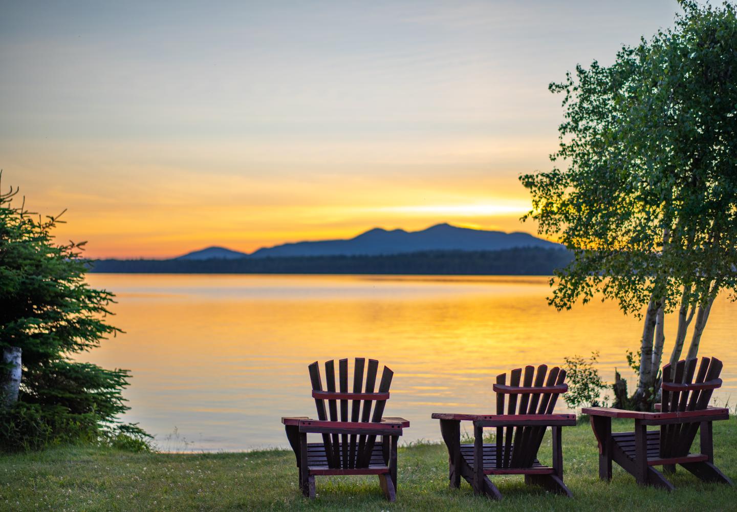
Mix Up Your Rail Trail Experience
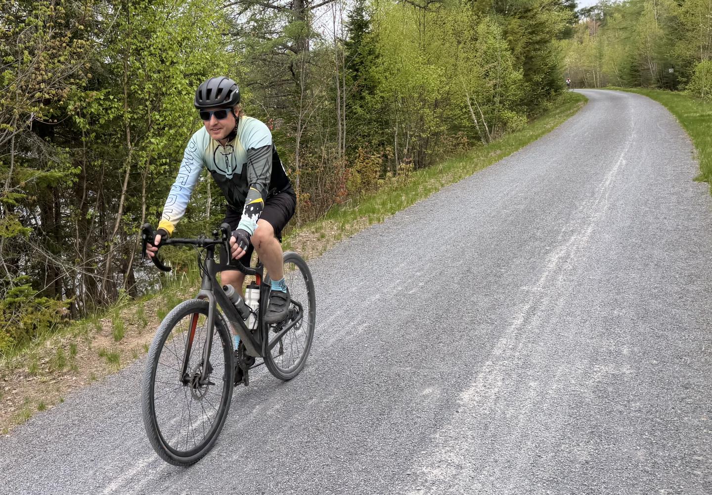
For cycling, it’s hard to beat the Adirondack Rail Trail, but some people may want to add variety by traveling in a loop that incorporates the trail and local roads.
Two of the best are the Forest Home Loop (13.2 miles) and the Floodwood Loop (18.9 miles). Even better, you can combine both into a figure-8 ride. It’s like getting two scoops of your favorite ice cream.
The Double Scoop entails 32.1 miles of biking and about 2,000 feet of climbing. More than half the ride (16.6 miles) is on the rail trail. Quiet local roads account for another 11.4 miles. The rest is on a packed dirt road and unimproved woods roads.
In the description that follows the mileages were calculated by the Ride With GPS app. Distances are measured from the starting point unless otherwise indicated.
From the depot, bike west 0.3 miles on the paved trail to Cedar Street, the first road encountered. Turn left on Cedar, take an immediate left on NY 86, then take an immediate right on Ampersand Avenue. These three turns occur within 75 yards of each other.
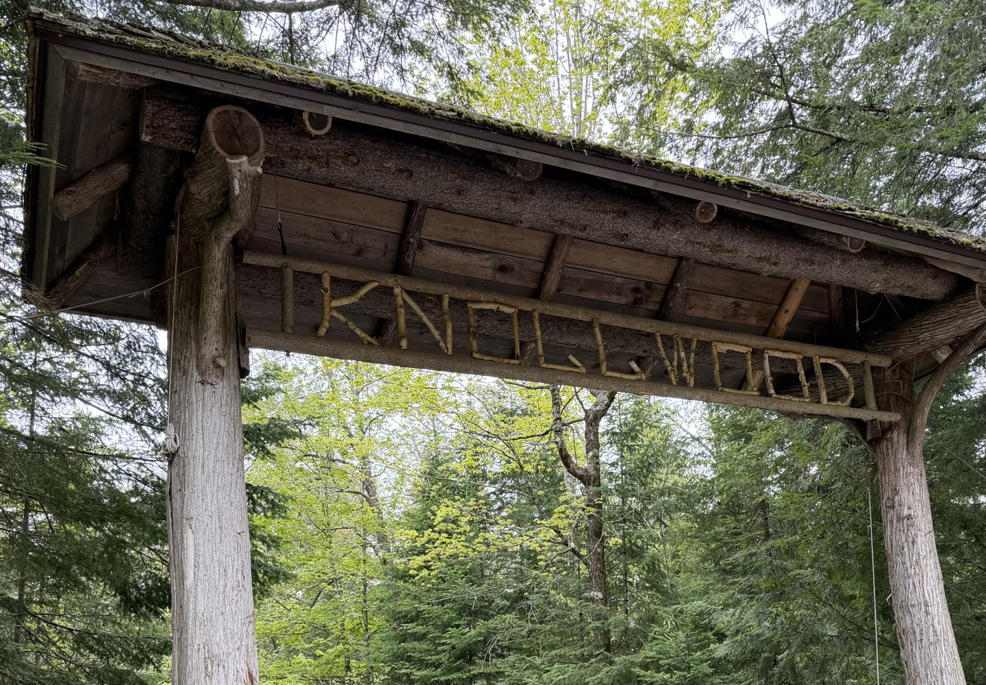
Follow Ampersand Avenue to Forest Home Road, reached a mile from the depot. Most of the climbing takes place over the next four miles or so. Soon after crossing Fish Creek, look for the “Knollwood” rustic gate. This is where Bob Marshall, the original Forty-Sixer, spent his boyhood summers. Marshall went on to become a national figure in the wilderness-preservation movement.
At 5.4 miles, you reach the T-intersection with McMaster Road. For a short ride, you could turn right here and coast much of the way to the rail trail. Starting at the depot, this would be an 11.4-mile loop.
But we’re doing the Double Scoop. Continue straight past McMaster and enjoy a long but mellow downhill en route to NY 186, reached at 9.1 miles. Cross the highway and take Fish Hatchery Road 0.4 miles to Station Road. Turn right here to get on the rail trail at 9.6 miles.
When I got to the trail on my ride, who should zip by in one of his colorful jerseys but Doug Haney, the owner of Bike Adirondacks and publisher of this blog.
“Hi, Phil,” I heard.
“Hey, Doug!” I shouted. “Where you going?”
But he was already too far gone to answer.
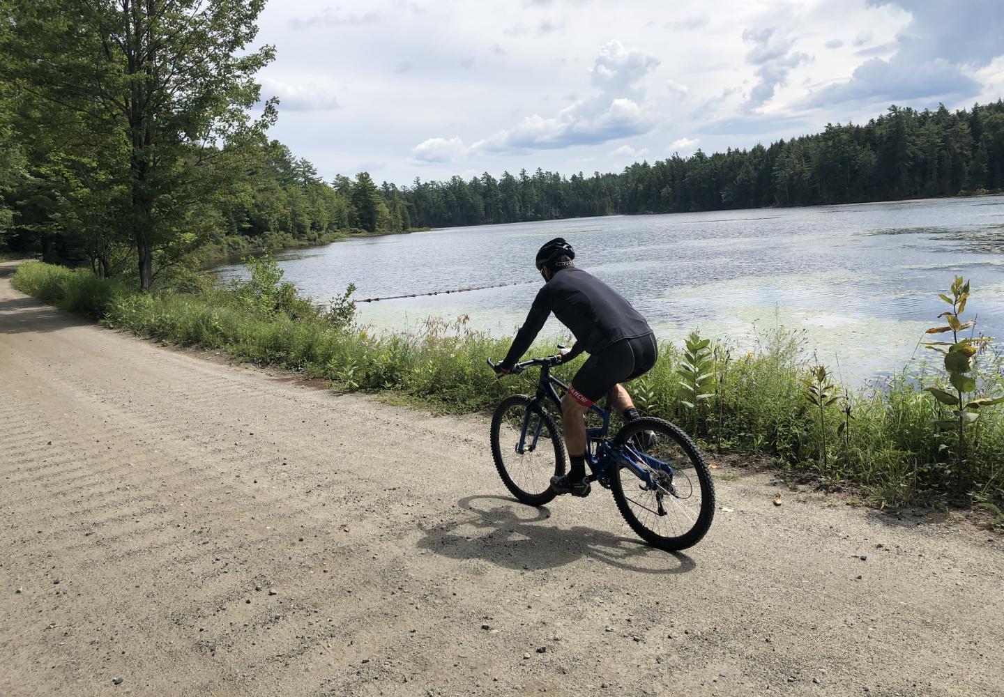
I headed west on the rail trail toward Floodwood in Doug’s dust. This is one of my favorite sections. For most of its length, it borders the St. Regis Canoe Area, which is managed as Wilderness. It passes a number of ponds and wetlands. I stopped several times to listen for birds. Among those identified by the Merlin app were three warblers: the black and white, black-throated green, and yellow-rumped.
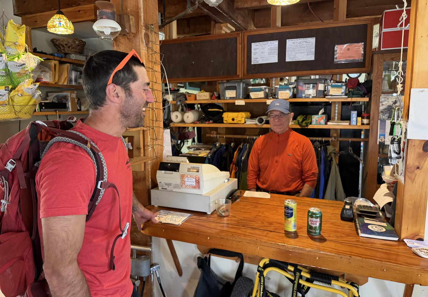
At 19.0 miles (including 6.5 on the rail trail), I reached Floodwood Road and the Floodwood Outpost, a charming store that sells snacks, drinks, and supplies. The trail crosses the road here and continues 8.5 miles to Tupper Lake. However, I turned left onto the dirt road.
Cycling Floodwood Road is a delight as you pass through deep woods and skirt the edges of Middle and Polliwog ponds. After a few miles, the dirt gives way to tarmac.
At 20.1 miles, you come to NY 30. Cross the highway and take County 46 past the Upper Saranac Lake boat launch and the Saranac Inn Golf Club. At 21.1 miles, the county road meets NY 30 again. Now it’s decision time.
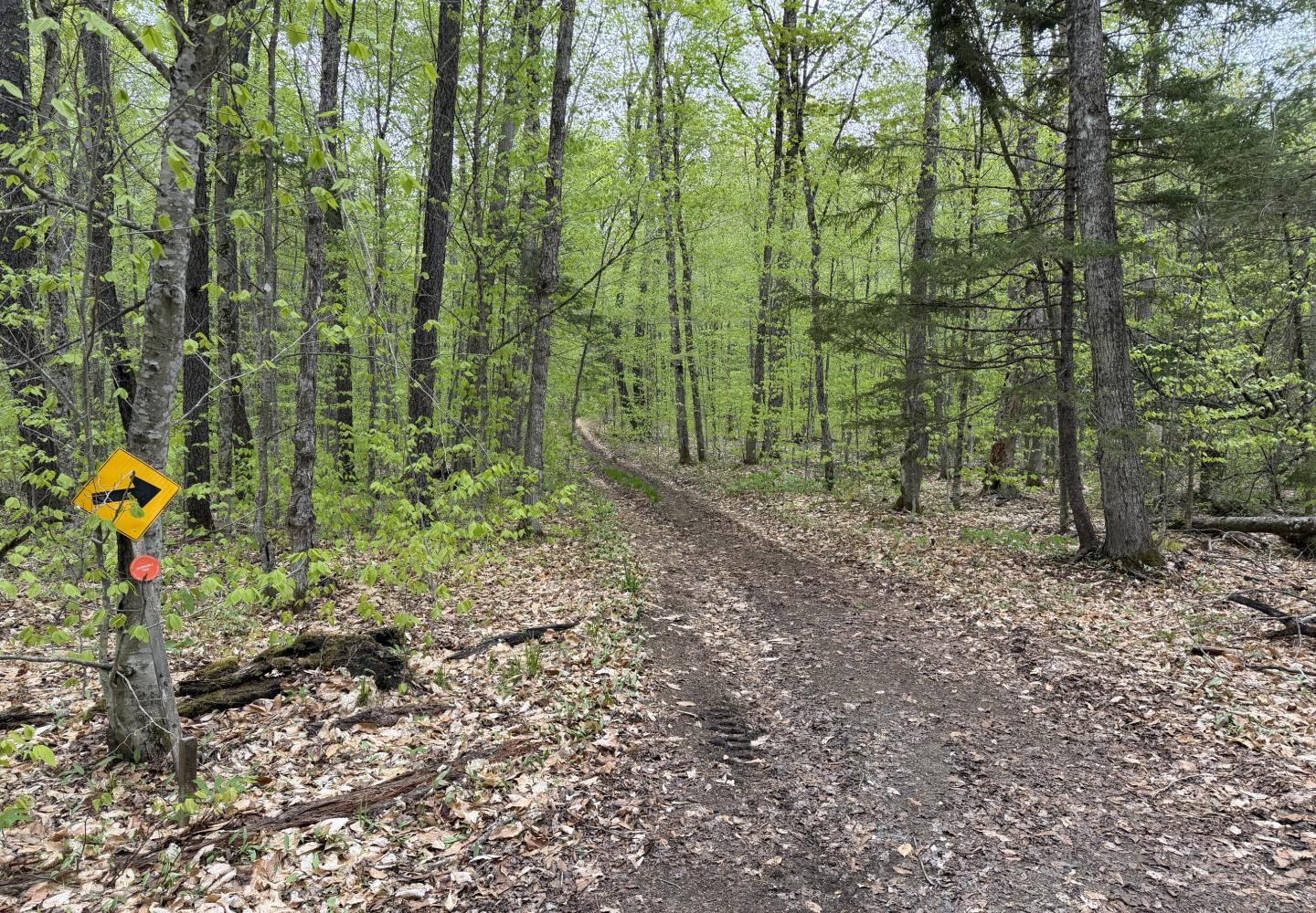
Option 1: The Rat Pond trails begin less than a tenth of a mile away. To reach them, turn right and angle across the highway to an unsigned but obvious dirt road. Bike the trails 0.8 miles to the rail trail and turn right on the trail.
Option 2: Turn right onto NY 30 and go one mile. Turn left onto Fish Hatchery Road and go 0.25 miles to Station Road. Turn left to get back to the rail trail.
I prefer the Rat Pond trails to biking along the highway. If you choose that option, here’s a bit more beta:
From NY 30, follow the trail 0.2 miles to a fork and bear right. At 0.5 miles, take a sharp left. (This is a snowmobile route, and both turns are marked by arrow signs.) Exit onto the rail trail at 0.8 miles, just after passing a junction with another trail. If you want to visit Rat Pond, take a left at the first fork. This trail, which is more eroded, parallels the east side of the pond before turning back to the meet the main route.
Be aware that the exit onto the rail trail is a short but steep dip through a vehicle barrier. Some people may want to walk their bike down the hill. Once on the rail trail, head east to return to Station Road in 0.8 miles--or 22.8 miles into the ride.
You’ve completed the Floodwood Loop. Now it’s time to embark on the second part of the Forest Home Loop. The directions couldn’t be more simple: follow the rail trail 10.1 miles back to the Saranac Lake depot. Here are a few of the highlights:
24.2 miles: Lake Clear Outlet. Ride along lake’s south shore.
25.9 miles: Charlie’s Inn (food and drink).
27.6 miles: McCauley Pond.
30.8 miles: Lake Colby causeway.
On my ride back to Saranac Lake, I paused at a wetland to listen for birds. Who should come up behind me but Doug Haney. This time he stopped to chat. He had ridden from Saranac Lake to Tupper and now was on the final leg of a 58-mile round trip. Though eager to return home for dinner, he stayed long enough for a photo and then was on his way.
As for birds, I heard only a solitary white-throated sparrow--an icon of the North Woods.